Multimedia |
Messengers |
Desktop |
Development |
Education |
Games |
Graphics |
Networking |
Security |
Servers |
Utilities |
Web Dev
OrbitGIS Microdrone Airborne Mapping Extension
By Orbit GeoSpatial Technologies
Rating:
 0/5 (0)
0/5 (0)
License type:
Freeware
Latest version:
1.0
Last updated:
November 9th, 2011
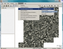
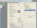
The Microdrone Airborne Mapping extension to Orbit GIS provides the tools required for automated flight and high precision mapping. It contains a Waypoint Generator, a Microdrone in-flight tracker...