Multimedia |
Messengers |
Desktop |
Development |
Education |
Games |
Graphics |
Networking |
Security |
Servers |
Utilities |
Web Dev
Districting for ArcGIS
By ESRI
Rating:
 0/5 (0)
 0/5 (0)
License type:
Demo
Latest version:
10.118
Last updated:
April 9th, 2012
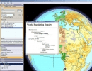
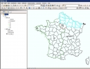
Districting for ArcGIS is an add-on that allows you to create defined groupings of geographic data, such as census tracts, ZIP Codes, and precincts, by creating a districting plan.
Main...
Main...


