Multimedia |
Messengers |
Desktop |
Development |
Education |
Games |
Graphics |
Networking |
Security |
Servers |
Utilities |
Web Dev
Drone2Map
By Environmental Systems Research Institute, Inc.
Rating:
 5/5 (1)
5/5 (1)
License type:
Demo
Home page:
www.esri.com
Latest version:
1.3.232
Last updated:
December 31st, 2016
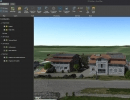
Drone2Map turns your drone into an enterprise GIS productivity tool. It lets you create orthomosaics, 3D meshes, etc. in ArcGIS from your drone-captured still imagery. You can also share...